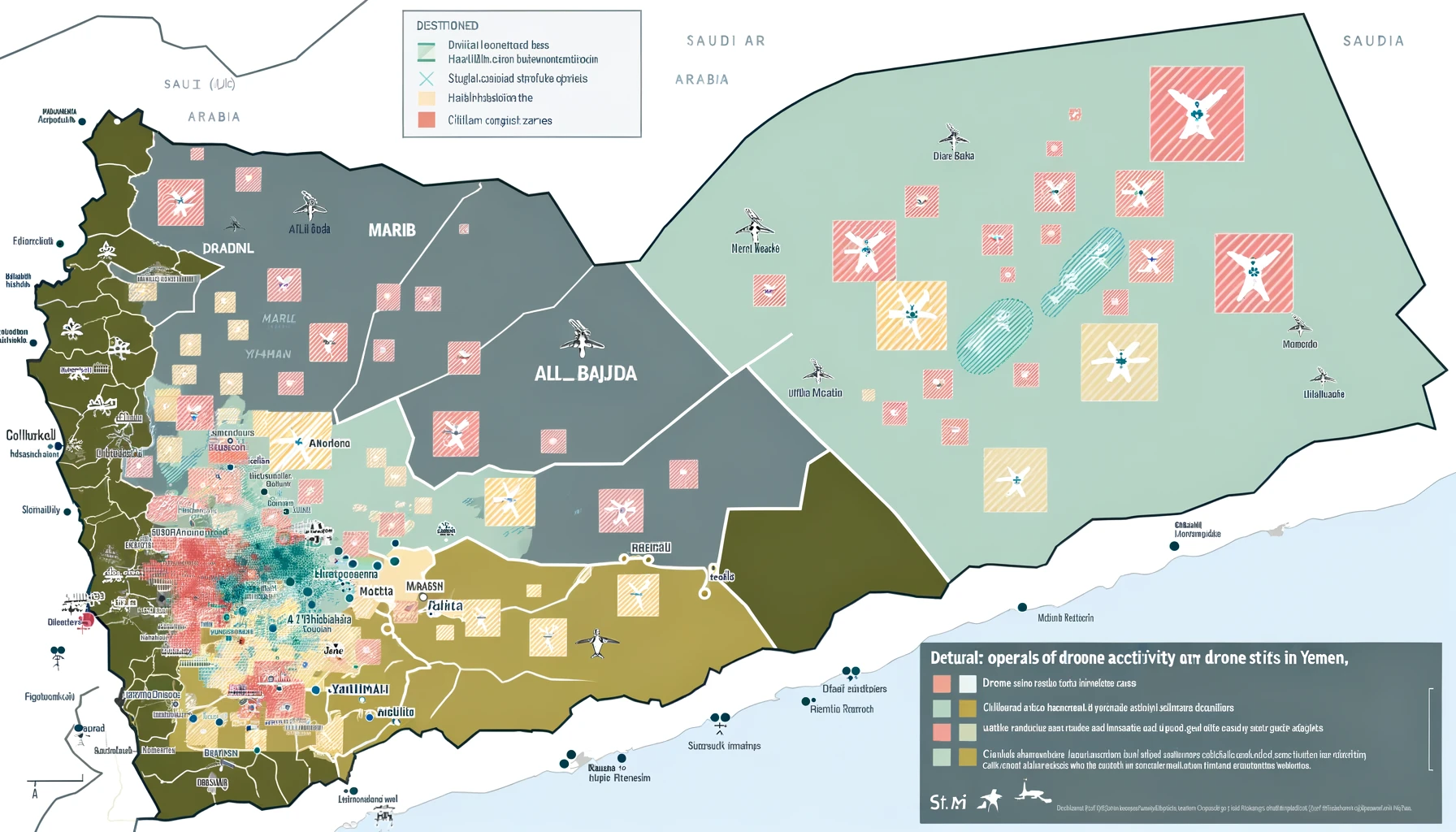
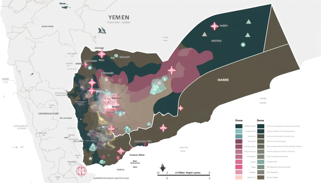
The use of drones in conflict zones has transformed modern warfare, offering capabilities that were once the stuff of science fiction. In Yemen, drones have become a central instrument of war, particularly for the United States and Saudi Arabia, as well as for the Houthi rebels who have used them for both surveillance and combat. This usage provides a point of comparison with other conflict regions, notably Afghanistan and Pakistan, where drones have also played a significant role.
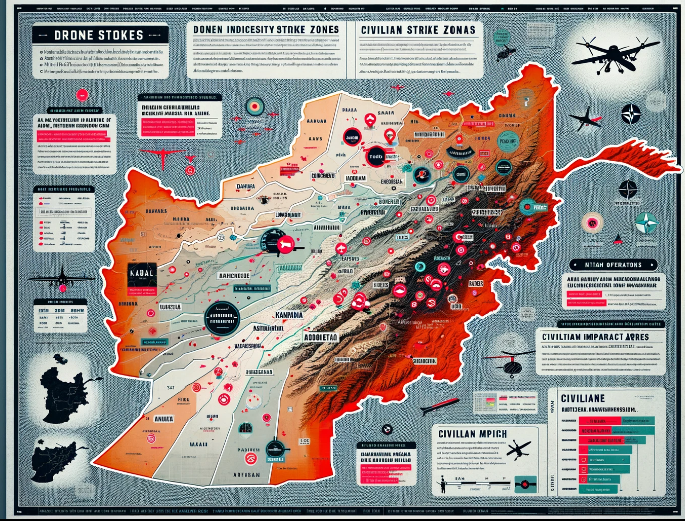
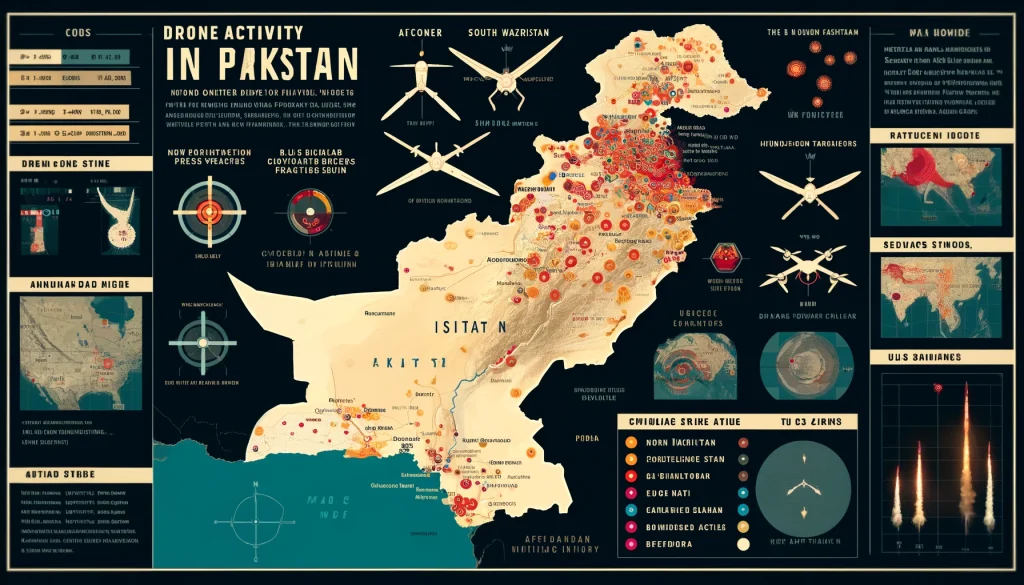
In Afghanistan, drone strikes were a cornerstone of US military strategy, especially during the height of the war on terror. These drones were primarily used for targeted killings of Taliban leaders and other militants. Similarly, in Pakistan, especially in the tribal areas bordering Afghanistan, drones were used to eliminate high-profile targets associated with various extremist groups. The drone campaigns in both countries were marked by their attempts to minimize ground troop casualties and avoid direct conflict, while maximizing the elimination of enemy combatants.
Comparatively, Yemen’s drone usage has been characterized by a mixture of state and non-state actors employing drone technology. The Houthis, for example, have used drones not just for intelligence gathering but also for offensive operations, including cross-border attacks into Saudi Arabia. This represents a shift from the usage seen in Afghanistan and Pakistan, where non-state actors have generally been the targets rather than the operators of drone technology.
The lessons learned from Yemen are particularly stark. The deployment of drones by non-state actors highlights the proliferation of this technology and its accessibility to groups without significant state backing. This democratization of drone technology suggests that future conflicts worldwide are likely to see a similar pattern, where not only state actors but also smaller groups can deploy advanced technologies. Yemen thus serves as a crucial case study in understanding the potential for drones to change the dynamics of asymmetrical warfare.
Another lesson from Yemen is the impact of drones on civilian populations. Like in Afghanistan and Pakistan, drone strikes in Yemen have been criticized for causing civilian casualties and for contributing to a climate of fear and instability. These outcomes have fostered resentment and hostility among the local populations, often undermining the long-term strategic goals of the deploying powers. The experiences in these countries underline the double-edged nature of drone warfare, capable of precise targeting but also prone to creating unintended collateral damage and escalating conflicts.
Policy differences also emerge in a comparative analysis. In Afghanistan and Pakistan, drone operations were largely led by the U.S. with the explicit intent of combating terrorism, often under the framework of international military intervention. In contrast, in Yemen, the Saudi-led coalition’s use of drones has been part of a broader regional power struggle with Iran, who is believed to be supporting the Houthi rebels. The geopolitical implications are therefore more pronounced in Yemen, affecting broader international relations and regional dynamics.
Furthermore, the technological landscape in these conflict zones continues to evolve. The use of drones has advanced from basic surveillance missions to complex, multi-role operations including payload delivery systems capable of precision strikes at long ranges. This technological evolution is shaping military strategies and operational tactics, forcing a reevaluation of traditional forms of warfare.
The comparative analysis of drone usage in Yemen versus Afghanistan and Pakistan not only highlights the similarities in terms of tactical advantages and challenges but also underscores significant differences in the strategic, legal, and ethical dimensions. These insights are crucial for developing more informed policies and responses as drone technology becomes increasingly commonplace in global conflict scenarios.
Map showing areas of drone activity in Yemen. The map highlights regions frequently targeted by drone strikes, such as Marib, Al Bayda, and the border areas near Saudi Arabia. It includes symbols for drone launch sites and high-intensity strike zones, with different colors representing various operators like the U.S. military and Saudi-led coalition forces. The map also illustrates the distribution of civilian impact areas, providing a clear, informative, and visually engaging tool for understanding the broader consequences of drone warfare.
Map showing areas of drone activity in Afghanistan. It highlights regions frequently targeted by drone strikes, such as Kabul, Kandahar, and the border areas with Pakistan. The map includes symbols for drone launch sites and high-intensity strike zones, using different colors to represent various operators like the U.S. military and NATO forces. Additionally, it shows the distribution of civilian impact areas, providing a clear and informative visualization of the broader consequences of drone warfare.
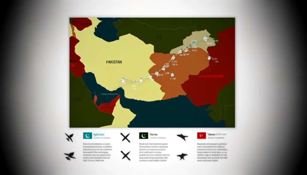
Map showing areas of drone activity in Pakistan. The map highlights regions frequently targeted by drone strikes, such as North and South Waziristan, and the border areas with Afghanistan. It includes symbols for drone launch sites and high-intensity strike zones, using different colors to represent U.S. military actions. The map also shows the distribution of civilian impact areas, providing a clear and informative visualization of the broader consequences of drone warfare.
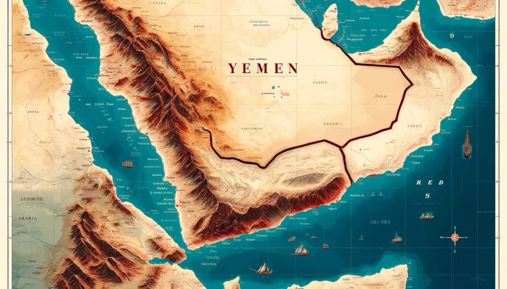
Map showing Yemen and the Red Sea. The map includes Yemen’s geographical features such as mountain ranges and deserts, highlights major cities like Sana’a, Aden, and Hodeidah, and depicts key islands and maritime routes in the Red Sea. The design is clear, informative, and suitable for educational purposes.
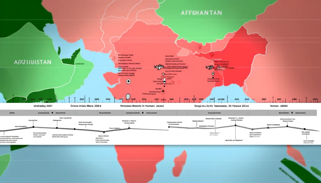
Timeline map showing the periods of drone activity in Pakistan, Afghanistan, and Yemen. The map includes a timeline from the early 2000s to the present, marking significant increases or decreases in drone strikes over the years. It highlights key events that led to changes in drone usage, such as major military operations or policy changes, with different colors representing each country and symbols for significant drone strikes or incidents. The design is clear, informative, and visually engaging, suitable for educational and analysis purposes.
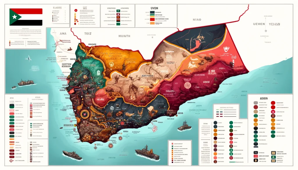
Map showing conflict zones in Yemen. The map highlights areas of significant conflict such as Sana’a, Taiz, and Aden, and illustrates the territories controlled by different factions, including the Houthi rebels and government forces. Different colors distinguish the areas controlled by different groups, and symbols mark major battles or strikes. Key strategic locations like ports and airports are also shown. The design is clear, informative, and suitable for educational purposes.